
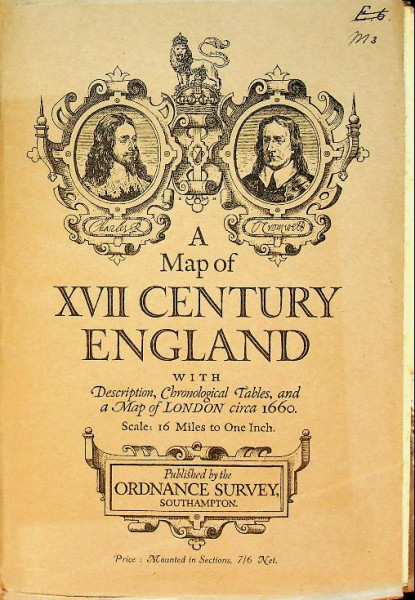
A map of XVII century England
with description, chronological tables, and a map of London circa 1660. Scale: 16 miles to one inch .
Ordnance Survey Office: 1930 Southampton, softcover booklet 24 pages, bound with folding-out chart of London 1660 and very large folding-out card of England, protected with an canvas back. In very good condition


25,00 *
Prijzen incl. btw excl. verzendingskosten
Klaar voor onmiddellijke verzending, leveringstijd circa 1-3 werkdagen
- Productnr.: P32471
- Tekstveld 1 openen: a5
Laatst bekeken