
Latest Map of Kathmandu to Tibet
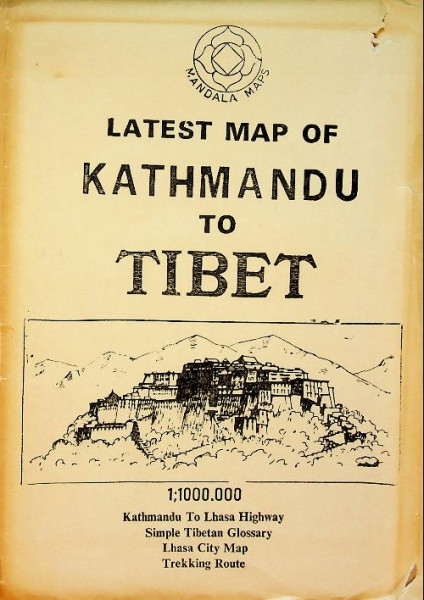
Mandala Maps: 1988 Kathmandu. This rare, late-1980s folding map of Tibet was meticulously hand-drawn by Nepalese cartographer P. L. Shrestha and published in Kathmandu, Nepal, by Mandala Maps and Himalaya Bookseller. This map was created as a practical navigational field guide to assist independent trekkers and overland tour operators traveling the rugged route between Kathmandu and Lhasa. Additionally, it served to document the region's geographical infrastructure, strategic borders, and local points of interest during a heavily regulated era of Tibetan tourism. Acting as a crucial historical document and rugged field guide from a period of strict travel regulation, it features detailed insets of Lhasa and sensitive border areas. This scarce collector's item holds significant value for historians and collectors alike, with authentic vintage copies from this specific Nepalese workshop now commanding market prices between six hundred and seven hundred dollars. The map has strong edges and no weak details in the paper. In very good condition.


- Artikel-Nr.: P33766
- Freitextfeld 1: a7